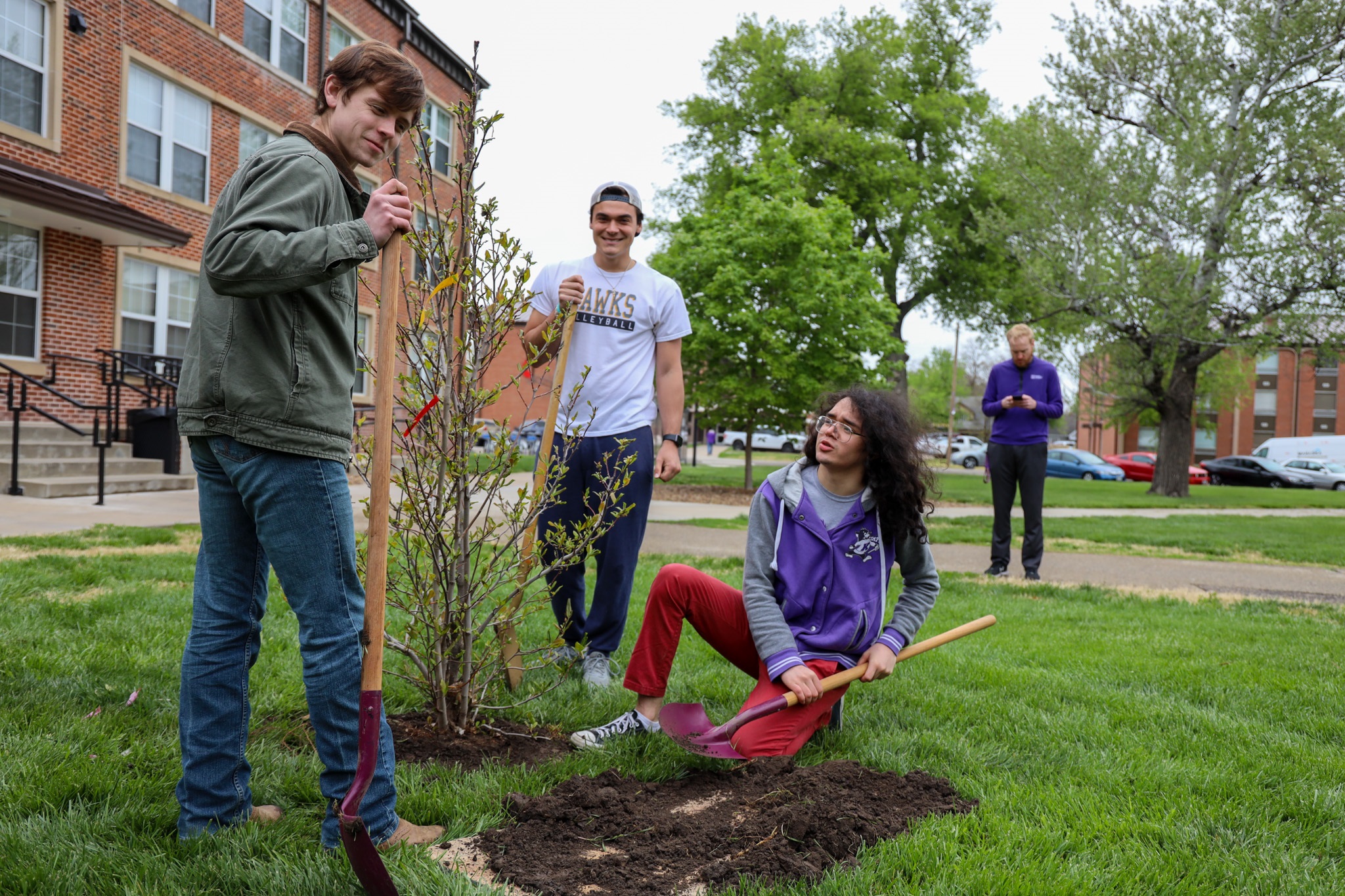
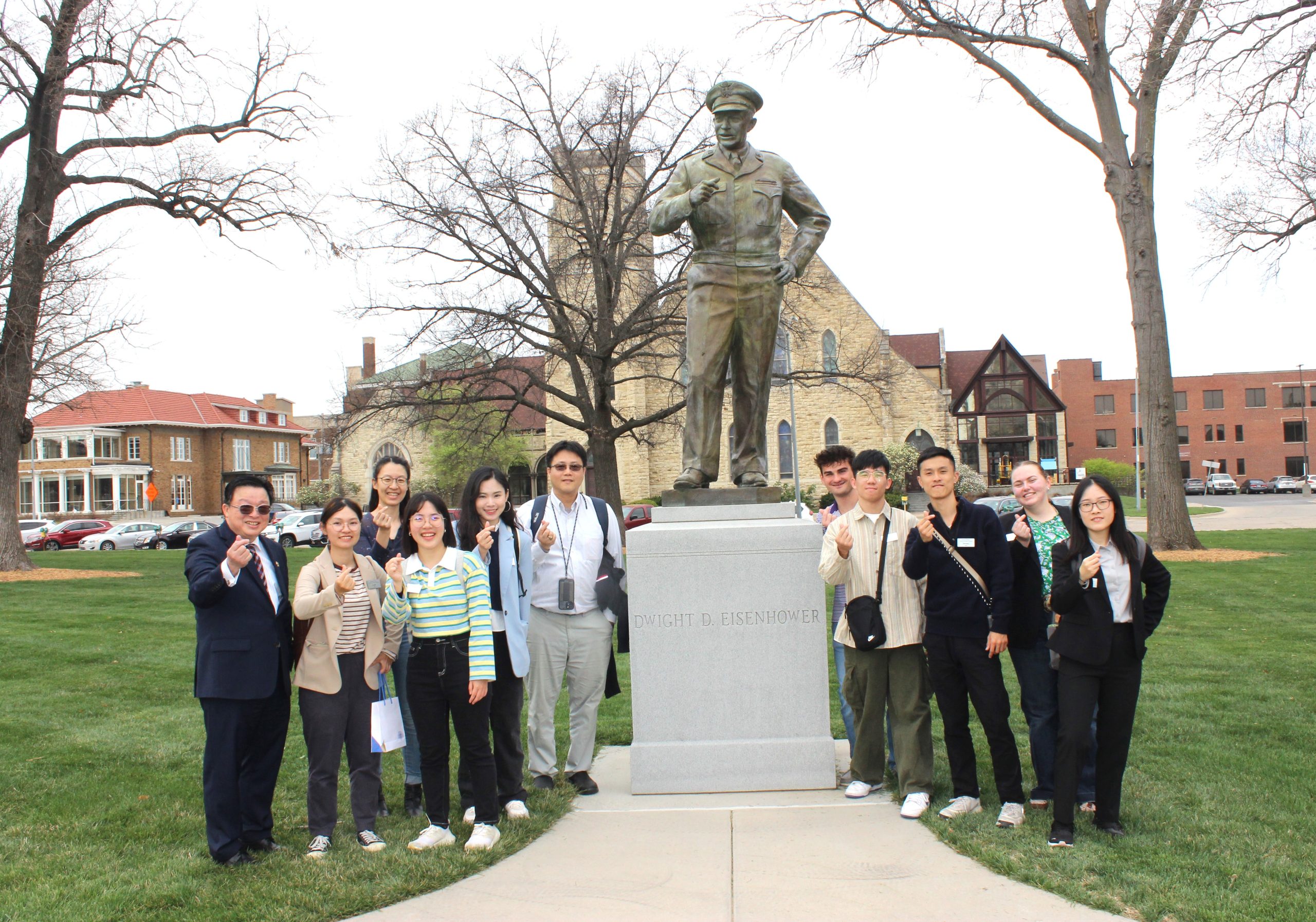
KWU to Celebrate Arbor Day
April 24, 2024 - 04:30 am

Kansas News


Feeds


Caitlin Clark Is the Highest Paid WNBA Player Ever and ...
Guest post by Joe Hoft at JoeHoft.com – republished with permission Caitlin Clark has already made more money than any player in the WNBA’s history and she hasn’t played a single ga...


Farming News
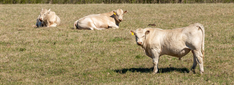
Selecting Sires to Create Replaceme......
When making a decision, many people believe it is important to gather as much information as possibl...


Polls
U.S. Rep. Marjorie Taylor Greene has filed a motion to remove House Speaker Mike Johnson over his endorsement of a bipartisan spending deal. Do you think the House Speaker should be removed?
- No (66%, 356 Votes)
- Yes (19%, 103 Votes)
- Don't Care (15%, 83 Votes)
Total Voters: 542
Sports News


Sports Feeds

‘It’s Something Special to Be Part Of’...
It's Friday at 8:36 a.m., as Dimitri Donald sits in his black office chair behind a long wood L-shaped desk and begins to talk inside his office on the third floor of the Vanier Family Football Comple...


Copyright © 2007 - 2024 All Rights Reserved.